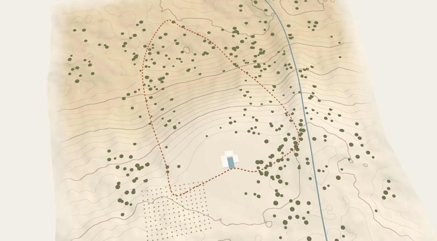
A map of places to explore and fly in to. The map source is a setting: the live 3D land, any illustrated artwork, or a real map from OpenStreetMap (no key), styled in the brand’s colours. Each place carries a photo, a gallery, a film, details and a link; choosing one flies the camera down to it and opens it full screen. Brand colours and type, a walk profile, and a light dial that moves the time of day.
Renderer
WebGPU
Kind
Spaces and maps
Options
6 fields, 4 presets
Forty acres · five places
Forty acres, one walking loop.
Pick a place to fly in. The dashed line is the loop: about two hours, with a long rest at the ridge.
The map source is one setting. Live 3D land renders the estate's own heightfield; Illustrated artwork pins places on any image and zooms it with a CSS transform (no WebGL); Real map draws OpenStreetMap vector tiles with MapLibre (no API key), recoloured from the brand tokens, with places at latitude and longitude. All three answer the same five calls (places, view, style, project, render), which is where Mapbox, Google or Apple would plug in.
Choosing a place flies the camera down to it, then crossfades to the place itself: its photo, gallery, film, details and the next place on the loop. Escape or Back returns to the map.
The walk profile is computed from the real terrain along the loop; the light dial tints the map by time of day.
The map stops drawing once the camera settles, so it costs nothing while you read.